Hard
10.9km≈ 5 h
177.1km
Distance
15days
Duration
14,146m
Elevation
The GR 20 (or fra li monti) is a GR footpath that crosses the Mediterranean island of Corsica running approximately north–south, described by the outdoor writer Paddy Dillon as "one of the top trails…
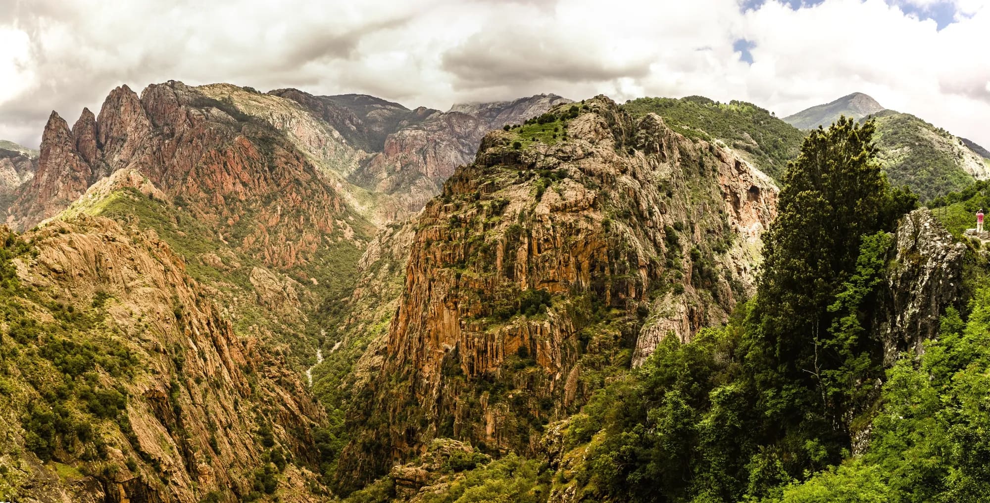
The GR 20 (or fra li monti) is a GR footpath that crosses the Mediterranean island of Corsica running approximately north–south, described by the outdoor writer Paddy Dillon as "one of the top trails in the world". The whole trail is about 180 km long with 12,000 m of elevation gain, and is clearly waymarked throughout. Every year, approximately 10,000 to 20,000 hikers walk along the trail, typically completing it in about 15 days. The trail is considered to be the most difficult of all the GR routes and consists of two parts: the northern part, between Calenzana and Vizzavona and the southern part, between Vizzavona and Conca. Vizzavona is regarded as the midpoint due to the presence of a train station, making it a convenient starting or ending point for hikers covering only one part the route. From Vizzavona, the train can be taken to Bastia or Ajaccio as well as many smaller towns and villages such as Corte. The northern part is considered by some the more difficult part because of the steep and rocky paths, though this could be an effect of many walkers beginning in the north and not being as fit for this section. The southern part of the trail is often considered easier though the lower altitude may give rise to higher temperatures in summer and so provide more difficult walking conditions. Along the trail there are mountain huts known as "refuges" or gîtes. The standard and price of accommodations and food varies between refuges. Hikers can sleep in a tent near the refuge, but it is not permitted to pitch tents along the trail. The GR 20 is an advanced trail. Other less difficult trails on the island include the Mare e monti (sea and mountains) and the Mare a mare (from sea to sea) trails. The idea of GR 20 comes from a former general inspector for youth and sports, Marcel Schlück, and his friend Guy Degos, both hiking enthusiasts.
Source: Wikipedia · CC BY-SA 4.0
Ultreya is an independent planning tool. All rights to the route remain the property of its operator; for more information, visit their website.
GR20 — Corsica is about 177.1 km long, divided into 15 stages, and takes about 15 days to walk.
GR20 — Corsica starts in Calenzana and ends in Conca.
GR20 — Corsica is rated hard. The total ascent over the whole route is about 14,146 m.
Yes. Ultreya offers a free GPX track of the whole route and one for each stage, so you can follow the path offline on your phone or GPS watch.
Each stage on this page lists places to stay at its destination, with type, price range, phone number and website, so you can book before you arrive.