Easy
24km≈ 5.5 h
114.3km
Distance
5days
Duration
1,484m
Elevation
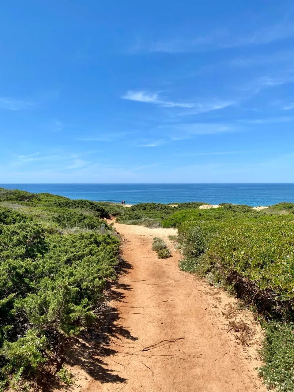
The Adriatic seaboard of the Salento, from Lecce down to Santa Maria di Leuca.
Ultreya is an independent planning tool. All rights to the route remain the property of its operator; for more information, visit their website.
Salento Way (Sea Route) is about 114.3 km long, divided into 5 stages, and takes about 5 days to walk.
Salento Way (Sea Route) starts in Lecce and ends in Santa Maria di Leuca.
Salento Way (Sea Route) is rated easy. The total ascent over the whole route is about 1,484 m.
Yes. Ultreya offers a free GPX track of the whole route and one for each stage, so you can follow the path offline on your phone or GPS watch.
Each stage on this page lists places to stay at its destination, with type, price range, phone number and website, so you can book before you arrive.