Hard
5.4km≈ 2.5 h
129.4km
Distance
12days
Duration
9,772m
Elevation
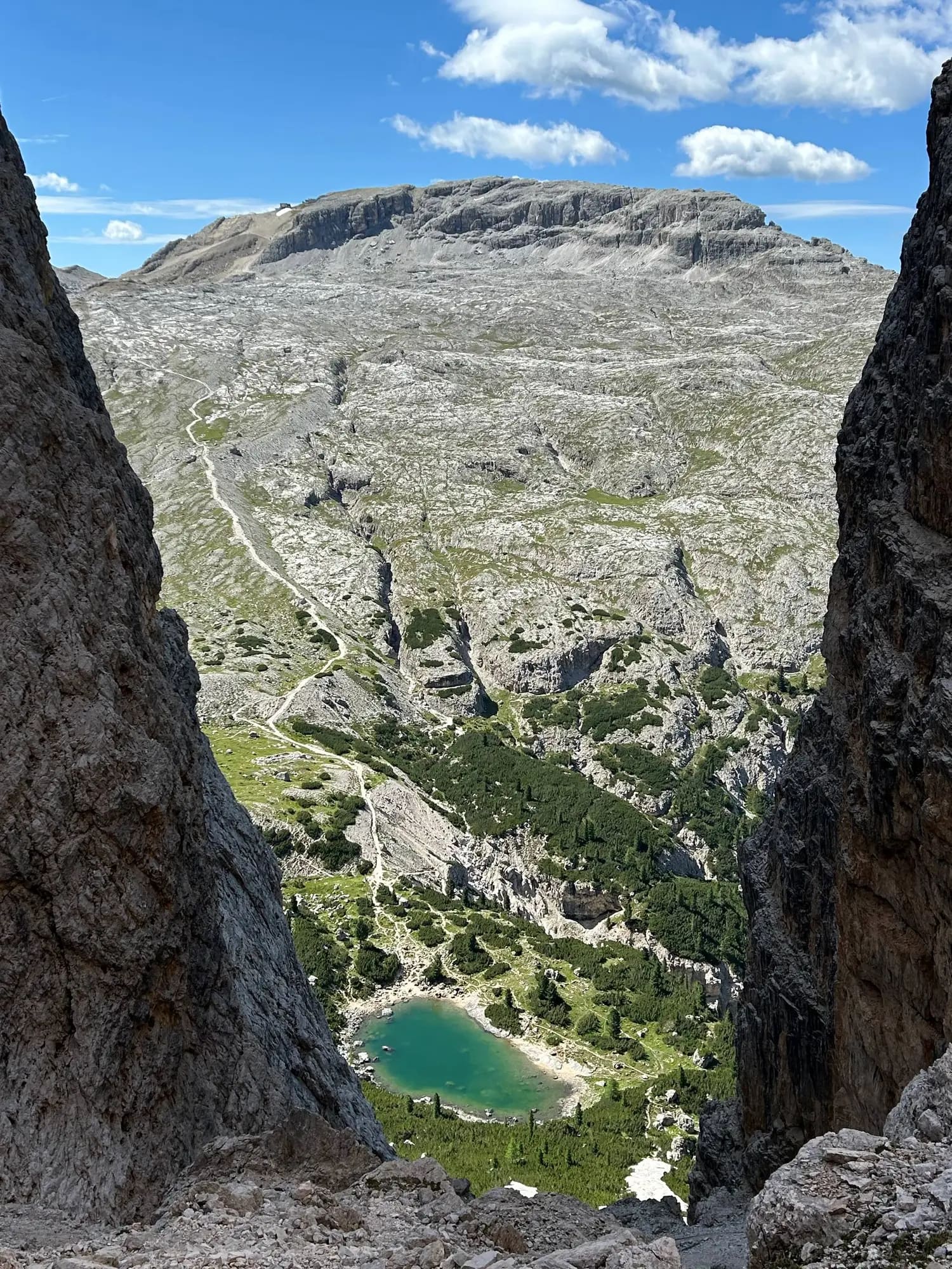
Alta Via 1 is a 125-kilometre-long high-level public footpath which runs through the eastern Dolomites in Italy. It is also known as the Dolomite High Route 1. It passes through some of the finest…
Alta Via 1 is a 125-kilometre-long high-level public footpath which runs through the eastern Dolomites in Italy. It is also known as the Dolomite High Route 1. It passes through some of the finest scenery in the Dolomites. The path runs south from Pragser Wildsee, near Toblach, to Belluno. Prags can be accessed by bus, and Belluno has both train and bus services. This is the classic high route in the Dolomites, and also the easiest. It gets slightly more difficult as it goes south, but the only section which might present difficulties is the descent from Schiara, and this can be bypassed. About 7–12 days are required to complete the full route. A typical day on the route might involve about seven hours walking, with ascents and descents of about 1000 meters. The best period for hiking the trail is between late June to the mid-September when the route should be largely free of snow and the refuges are open. The route is signposted by dark blue triangles with an inset number one.
Source: Wikipedia · CC BY-SA 4.0
Ultreya is an independent planning tool. All rights to the route remain the property of its operator; for more information, visit their website.
Alta Via 1 — Dolomites is about 129.4 km long, divided into 12 stages, and takes about 12 days to walk.
Alta Via 1 — Dolomites starts in Lago di Braies and ends in Belluno.
Alta Via 1 — Dolomites is rated hard. The total ascent over the whole route is about 9,772 m.
Yes. Ultreya offers a free GPX track of the whole route and one for each stage, so you can follow the path offline on your phone or GPS watch.
Each stage on this page lists places to stay at its destination, with type, price range, phone number and website, so you can book before you arrive.